7_AAAI
- AAAI-Buildings is a dataset for segmentation of buildings in hurricane-affected areas in high-resolution imagery. A dataset of high resolution (m) orthorectified aerial imagery, labeled according to the following classes:
- Other
- Building
- Flooded Building
- dataset: https://github.com/FrontierDevelopmentLab/multi3net
- dataset citation: Rudner, T. G. J.; Rußwurm, M.; Fil, J.; Pelich, R.; Bischke, B.; Kopačková, V.; Biliński, P. Segmenting Flooded Buildings via Fusion of Multiresolution, Multisensor, and Multitemporal Satellite Imagery. In AAAI 2019. https://arxiv.org/pdf/1812.01756.pdf
- Zenodo release: https://doi.org/10.5281/zenodo.7607895
- model citation: Doodleverse/Segmentation Zoo/Seg2Map Res-UNet models for segmentation of buildings of RGB 1024x1024 high-res. images (v1.0) [Data set]. Zenodo. https://doi.org/10.5281/zenodo.7607895
- Classes:
- Other
- Building
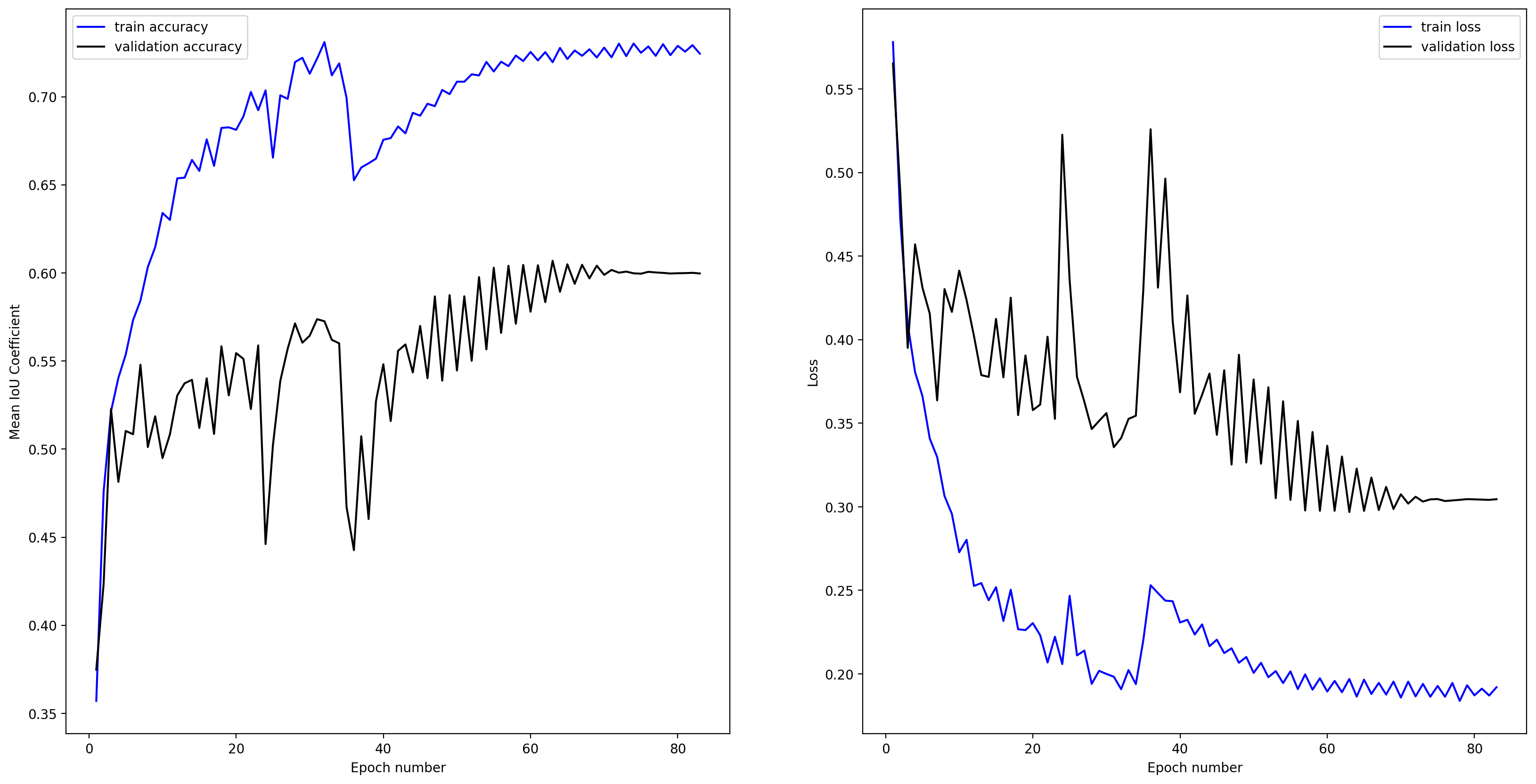
Training curve for the best model:
Some example validation outputs:
- Zenodo release: https://doi.org/10.5281/zenodo.7622733
- model citation: Buscombe, Daniel. (2023). Doodleverse/Segmentation Zoo/Seg2Map Res-UNet models for segmentation of AAAI/flooded buildings in RGB 1024x1024 high-res. images (v1.0) [Data set]. Zenodo. https://doi.org/10.5281/zenodo.7622733
- Classes:
- Other
- Flooded Building
Training curve for the best model:
Some example validation outputs: